San Guillermo Mountain - Peak #23 - A short steep hike
San Guillermo Mountain
Elevation: 6,602′
Total Mileage: ~2.2
Trailhead: Pine Springs Campground
Agency: Los Padres National Forest
Date Hiked: 08/25/2013
Peakbagger.com Page
For those interested, here is a list of my gear that I have found works well for me. This is, of course, an affiliate link and your enjoyment of these may vary:

The start of the trail to San Guillermo Mountain through the dry
San Guillermo Mountain was the second hike I had done that day. The first was Thorn Point, which was nearly 8 miles and pretty steep. This one was supposed to be a quick 2 mile round trip hike to a Sierra Club Hundred Peaks Section Peak. It took a little longer than I expected.
08/25/2013
I drove from the Thorn Meadows Campground to the Pine Spring Campground, which is the trailhead to San Guillermo Mountain.
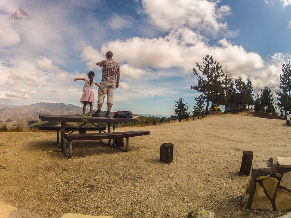
I parked in a campsite near the southern end of the campground, where I could see the wash that I had read about on trip reports. I had some lunch at a picnic bench, as I was pretty hungry from the previous hike of the day.
I tried to prevent the existence of the trash around me to spoil my mood. I was having a great day and didn't want my love of unspoiled wilderness to be dampened by the carelessness of others.
I picked up what I could, but I could have spent two days cleaning up that campground.
I entered and followed along the wash, I kept looking left until I saw a use trail and a cairn showing the way that led up to the ridge line. I immediately saw more bear tracks. This is still new to me.
There have been times in the past where I've looked at tracks on the ground and wondered, "Is this a bear track?" I think the answer is the same answer to the question when someone is squinting up at the sky and asking, "Is that a California Condor?" The answer? You'll know it when when you see it.
These were distinct bear tracks, the likes of which you see silhouetted in books about animal tracks. And they were going the same way I was. It's possible these tracks were pretty old, but when bear tracks are going the same way as you, it's good to make some noise, so you don't surprise anyone along the way. So the trekking pole clacking and "Hey, bear" ensued and continued for the duration of the hike.

Use trail and cairns on the way to San Guillermo Mountain
I was tired. I could tell hiking up the first rise. I had been drinking plenty of water, but the frequency of my hiking has decreased, so my endurance has suffered.
I adjusted my pace in the warm afternoon. I lost the use trail a few times, but, as long as I kept hiking up the ridge, I found it again. The bear tracks continued. I also saw coyote, raccoon, and deer tracks, as well. This was a regular animal highway.

Plenty of bear tracks along the trail
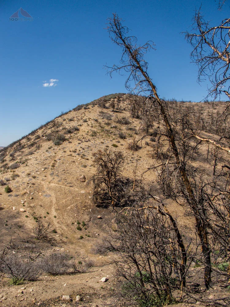
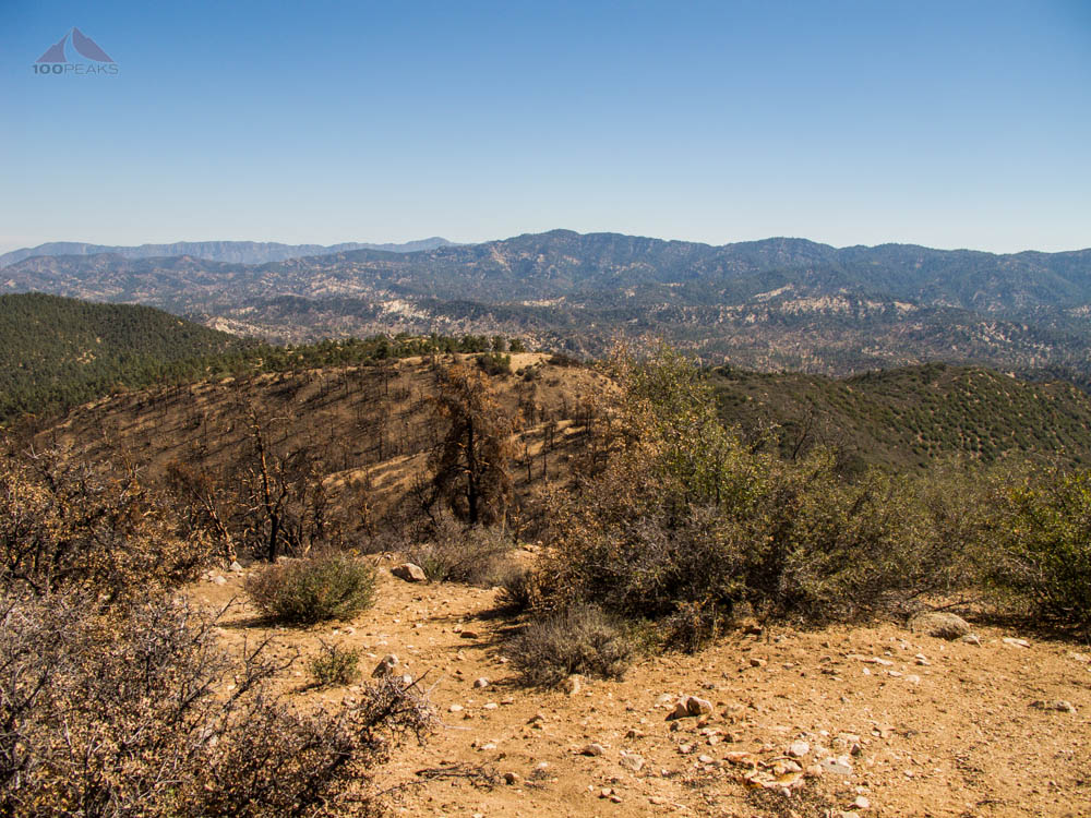
I got to the top of the ridge and looked north. The entire hillside of San Guillermo Mountain had burnt in the Lockwood Valley Fire in September 2012.
It looked pretty fresh, as there were still white ash marks at the base of every tree and bush. The fire looked as if it had come from the Pine Spring Campground, perhaps an out of control campfire.
The poodle dog bush was first to come back, showing green leaves at the base of blackened trunks.
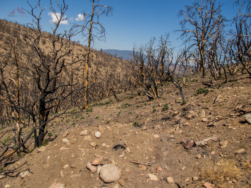
Trace of the Lockwood Fire on the way to San Guillermo Mountain

Last push upward to San Guillermo Mountain
I had to drop some elevation before I was able to get to the top of San Guillermo Mountain, as there was a saddle in between where I stood and the slightly higher peak. I started to think about the hike to Villager and Rabbit Peaks. Losing and gaining elevation, as well as being pretty tired in a stark landscape.
This was a much smaller scale, however.
I made it to the top, practically on willpower alone. I have got to work on my endurance. But I did go around 10 miles this day, and gained nearly 3,000' of elevation in pretty decent heat, all over 5,000'. So there's that.
The view was great, especially to the west, where I could see the sandy ridges about Wagon Park Canyon.
That's the problem with what I do. Whenever I get to the top of a mountain, I am presented with tons of new territory that I'd love to walk all over. Sure, it's a problem, but it's also a gift.
Thorn Point from San Guillermo Mountain with Topatopa Mountains

The view west from San Guillermo Mountain to Wagon Park Canyon
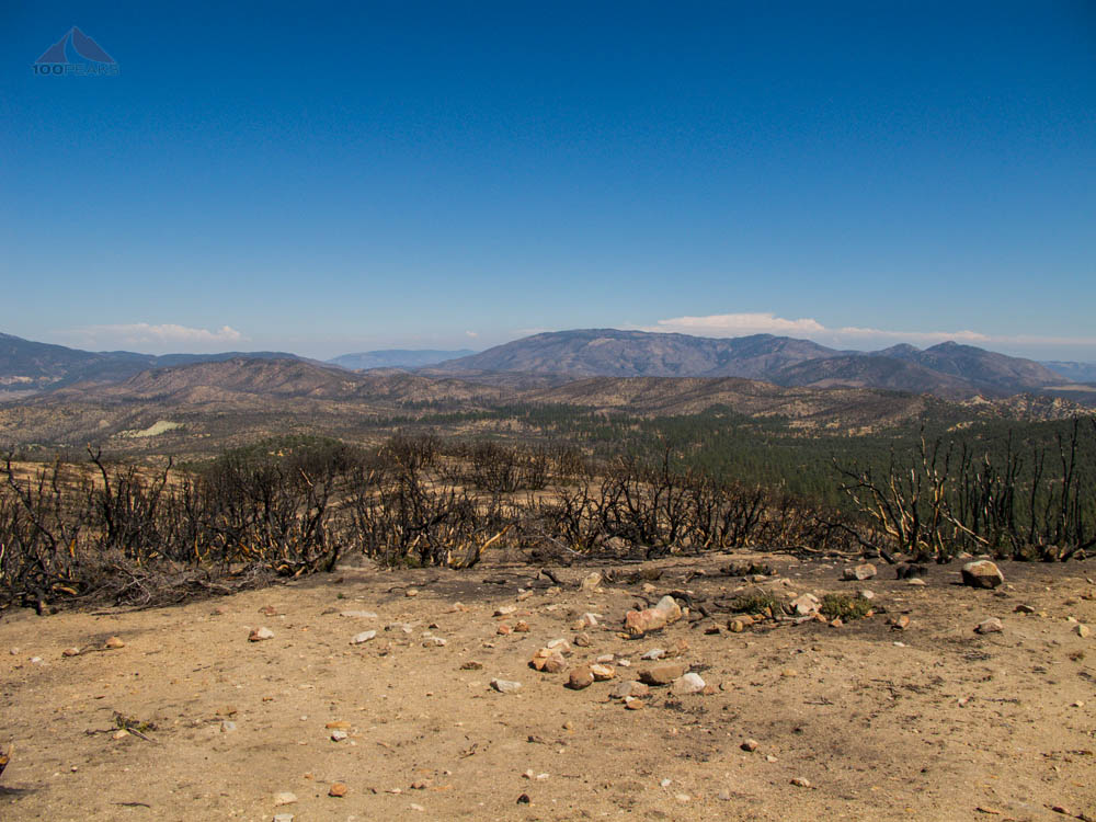
The view east from San Guillermo Mountain to Lockwood Peak and Alamo Mountain

Summit register on San Guilermo Mountain looking towards Mount Pinos
I was beat, but the rest was downhill. I made great progress back down. It was great to change into sandals and turn the AC onto my feet as I drove two hours back to the coast, to have cheeseburgers with my family on the beach.
Seriously, someone please stop me if I ever complain about anything. Ever.

San Guillermo Mountain Trail Map (Click to enlarge)