Hiking along the Santa Ynez River after the rain
03/02/2014
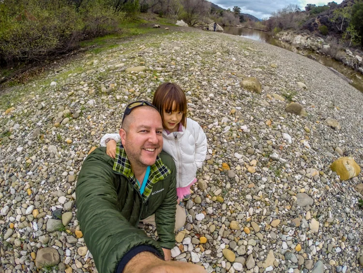
Since the sky decided to open up and rain heavily for three days straight, we wanted to go visit the Santa Ynez River, to see how full it was. After picking up several bags of trash at the picnic area, we went for a stroll along the banks of the river.
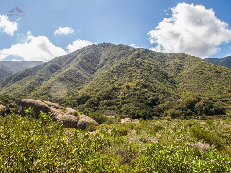
The Santa Ynez River originates from near Divide Peak and flows mostly westward until meeting the Pacific Ocean past Lompoc.
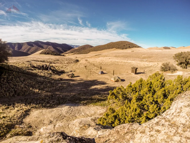
In most summers, it becomes completely dry, but can be impassable during wet times. It runs along the town of Santa Ynez, as well as Solvang and Buellton. Off Paradise Road, near Highway 154's San Marcos Pass, there are several campgrounds and day use area along the Santa Ynez River's banks.
While talking with some of the locals, who used to swim there frequently, I learned that it is still pretty low, compared to normal years. Regardless, we had a great time exploring and throwing rocks into the river. It rained again pretty heavily on the way home, too. But, while we were at the river, it was perfect.
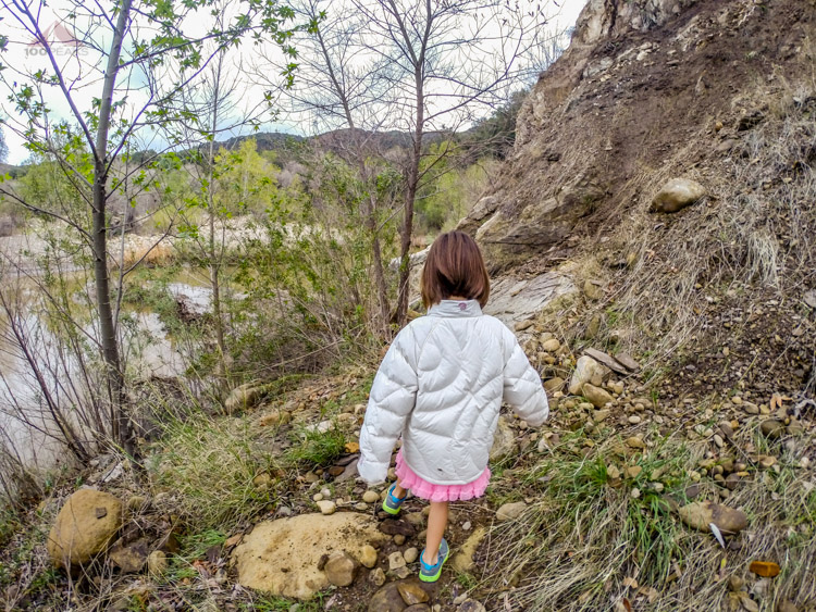
Hiking to the River
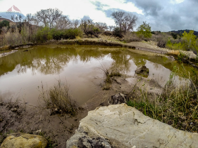
The wet, but still low Santa Ynez River

Posing

The Santa Ynez River
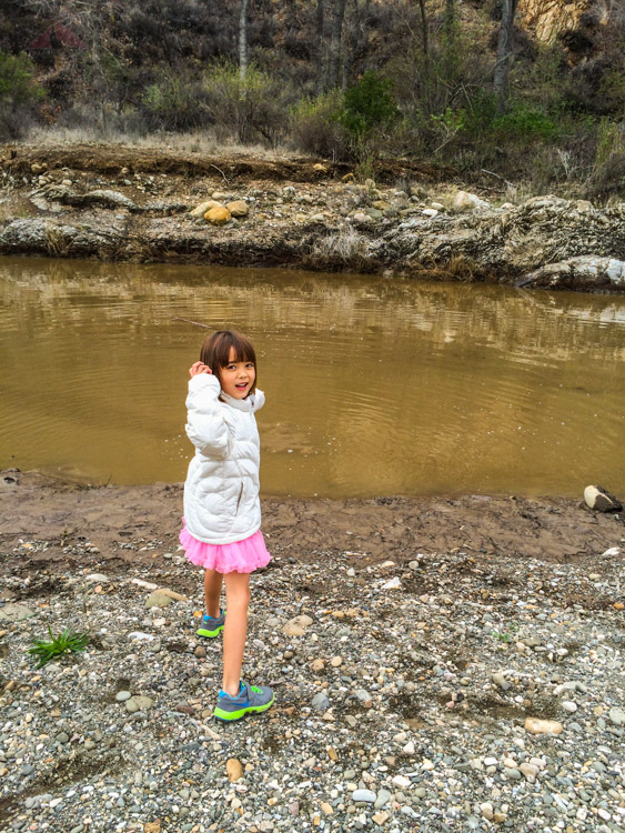
Getting ready to throw