Mount Pinos, Sawmill and Grouse Mountains - Peaks# 10-12 - Backpacking with first-timers
Mount Pinos
Elevation: 8,847′
Peakbagger.com Page
Sawmill Mountain
Elevation: 8,818’
Peakbagger.com Page
Grouse Mountain
Elevation: 8,582′
Peakbagger.com Page
Total Mileage: 14.22 miles
Trailhead: Mount Pinos Nordic Base
Dates Hiked: July 21-22, 2012
For those interested, here is a list of my gear that I have found works well for me. This is, of course, an affiliate link and your enjoyment of these may vary:
07/21/2012
I was more than excited. It was going to be my first time backpacking locally. I was going to be taking my 11-year-old niece (XN, the PD's daughter) and other my brother-in-law (McD) out on their first backpacking trip. I even reached out to local expert, Craig Carey, whose new book, Hiking and Backpacking Santa Barbara and Ventura has a wealth of information about the Southern Los Padres National Forest. I told him that I was looking for peaks and moderate gain for an 11-year-old and he told me to go to Sheep Camp and bag Mount Pinos on the way. So that's what we did, and more.
We got up at a reasonable time on Saturday. I knew it was going to take about 3 hours to drive to get there, but also knew the distance to the campsite wasn't that far and we had plenty of daylight.
We loaded up the car and got going. It was a beautiful drive along the 126 through Heritage Valley to Frazier Park, where we stopped to pick up some last minute supplies, including a bag of ice to put in our water bladders.
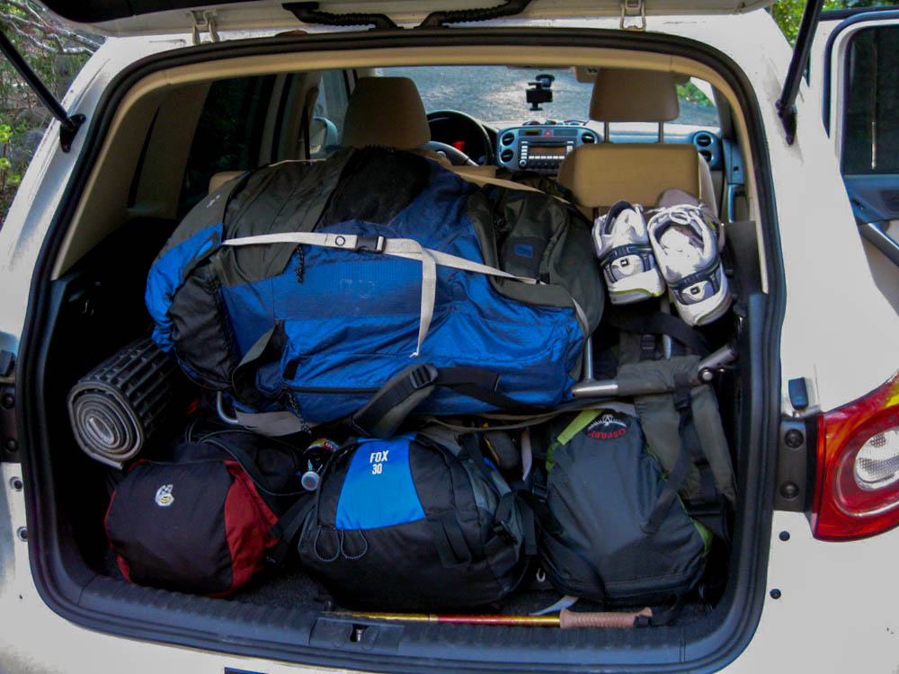
Packed up and ready to go
We reached the Mount Pinos Chula Vista parking area and saw a lot of people set up for stargazing. Telescopes were being assembled within a large community of RVs. It was pretty warm, so we packed up and set out.
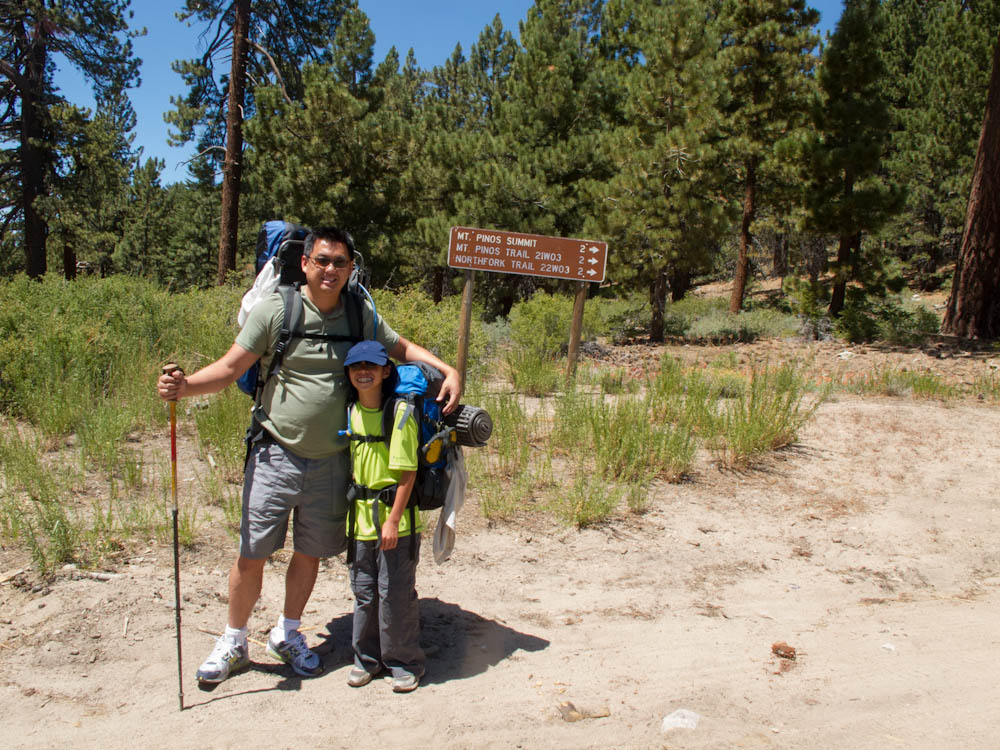
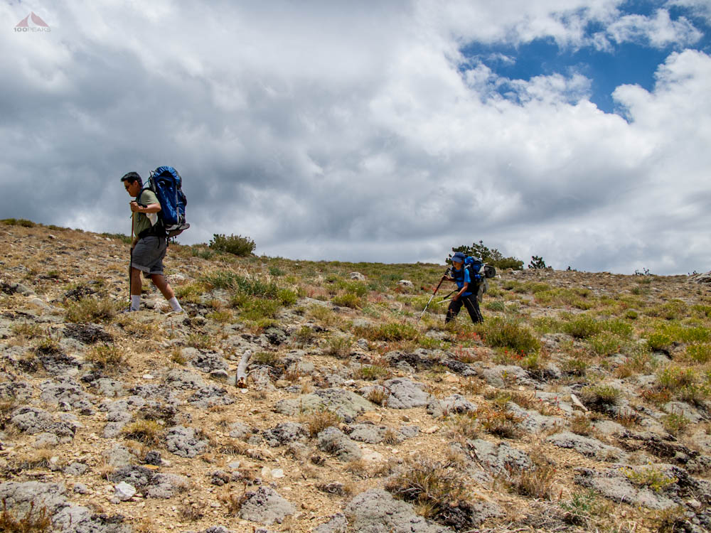
McD and XN - First time backpackers
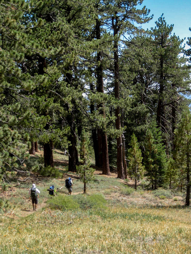
We passed a lot of day hikers. We also passed some horses who were on their way back to the stables.
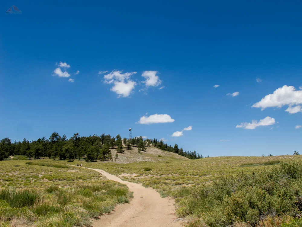
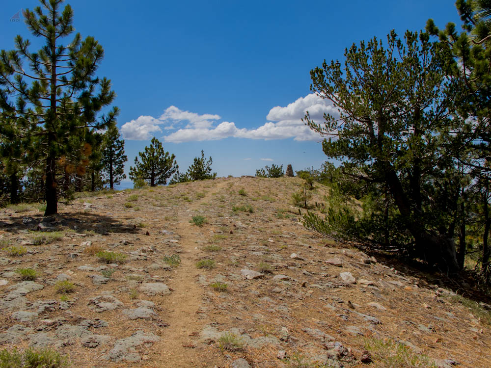
Before long, the trail opened up from a forest to an open green meadow. From there, we could see the tower on top of Mount Pinos, so we knew we were close.
McD and XN, the two first-time backpackers, were glad to see the goal in sight. I gently reminded them that we were hiking beyond that mountain and over another one before we would be able to camp for the night.

Horses on the Mount Pinos Trail

Meadow on the Mount Pinos Trail
We reached the western edge of Mount Pinos and sat on the tall benches there to have lunch. The weather was great. It was pretty warm down in Santa Barbara, but the breeze here took the bite out of an otherwise hot day.
I left the group to climb to the actual highpoint and see if I could find the summit register. After finding the benchmark, but no sign of a summit register, I hiked back down to the group.
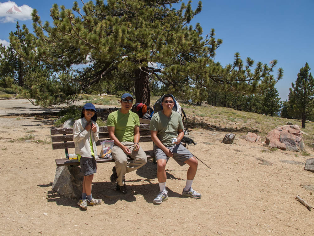
Taking a break atop Mount Pinos
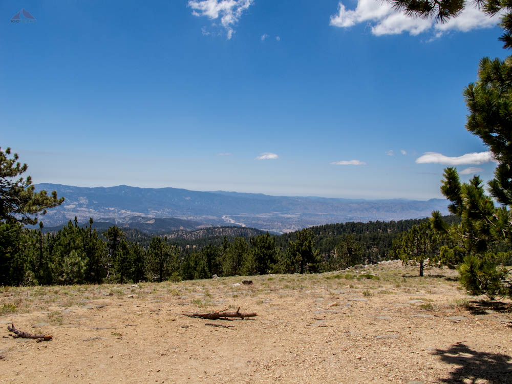
The View from Mount Pinos

Mount Pinos Benchmark
Side Trail from Mount Pinos
We shouldered our packs and continued down the west side of the mountain, enjoying the interesting plants that grew there. It was pretty steep, and I wondered what it was going to be like coming back up tomorrow.
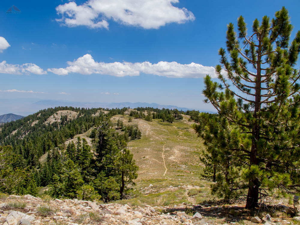
We were over 8,000' in elevation and we were all feeling it. I pointed across the saddle between Mount Pinos and Sawmill Mountain and said we were going up there. I heard some sighs.

We Continued on this Trail

Sawmill Mountain, our next destination
Once we started up the other side of the saddle, we all felt the effects of the elevation a lot more. I gave McD some Clif ShotBloks and he had a newfound energy and a spring in his step.
We all gently encouraged XN as she struggled with the effort it took to climb a steep trail at a high elevation. Taking some breaks, we made it to the high point of the trail. I told them I would like to summit Sawmill Mountain, since the peak is just off the trail.
The PD and XN decided to take a break while McD and I strolled to the summit. I kept my backpack on the whole time, since it had my water, Spot communicator, and cameras in it.
There was a giant cairn at the top and great views into the Pine Mountain Club. There was a nice flat green area to the northeast.
The side trail to Sawmill Mountain
Almost to Sawmill Mountain

Summit Cairn on Sawmill Mountain

Meadows below Sawmill Mountain
Not wanting the others to wait, we enjoyed the summit briefly and headed back to the trail, collecting the PD and XN and headed downward toward the trail junction.
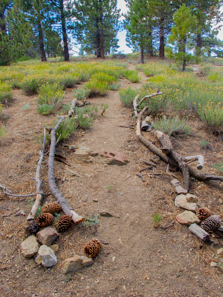
Everyone felt good during this portion, since the trail was either flat or slightly downhill. Before long, it seemed, we were at the trail junction and very close to our final destination. We took a little break, chatted with some other hikers and made the short trek downward toward Sheep Camp.
Almost to Sheep Camp
Descending to Sheep Camp
The first set of campsites were full by another party of campers, so I went down the trail a bit and saw the next campsite was completely empty. I hiked back up and signaled that they should continued hiking for a bit.
It always feels good to take a full backpack off, knowing you're done for the day. We set up our tents, got our dinner gear ready, and I went out in search for water, which was about 200' from our campsite. Water was flowing from the rocks, aided by a small pipe. It was steady and ice cold. I filled my Sea to Summit Bucket, and brought it back to the campsite.
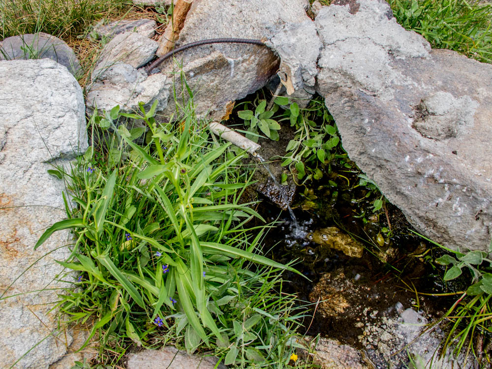
The Spring, in late July, at Sheep Camp

Our Tents at Sheep Camp
Dinner consisted of boiling water poured into several freeze-dried meal bags, mixed and then spooned onto tortillas. Now that I've brought tortillas on a few hikes, I don't think I will ever backpack without them. They are a great addition to any dinner.
After dinner, we went for a little stroll over to the west side of the ridge and got a great view of the valley below. We sat on some rocks and stumps and watched the sun set over the mountains across the valley. We hiked back down and played some Uno and enjoyed some wine (XN didn't). We hung our food in a bag in a tree, to keep it away from any potential bears and retreated to our tents.
Enjoying the mild evening, McD and I spent hours playing cards in our tent. I took a picture of the stars by resting my camera on the ground, pointed upward.

Dusk at Sheep Camp

The Starry Night Sky from My Tent
The next morning, we had breakfast burritos and waited for the sun to hit our campsite. We took down our tents and were on our way in no time. I let everyone know that I wanted to drop my pack at the junction above and summit Grouse Mountain. We were so close, it didn't make sense to pass up the opportunity. They all agreed to go along with me.

Disembarking from Sheep Camp
Before long, we were heading west and climbing up the side of Grouse Mountain. After a few detours, we made it to the top. This was XN's first peak, and it happened to be one of the Sierra Club's 100 Peaks. Mount Pinos didn't really count, since she didn't climb to the high point, choosing only to go to the bench area. She signed the summit register and we congratulated her. We also saw Craig's signature in the register, too.

Grouse Mountain Summit Cairn

XN Signing her First Summit Register

Hey, I know that guy
Eager to be on our way, since the weather appeared to be deteriorating, we made it back down to the junction, shouldered our full packs and started climbing our way back up to Sawmill Mountain. The uphill section was hard on XN, but I could tell she was stronger and more confident than the day before.
When we got to the turnoff to Sawmill Mountain, XN surprised us and told us she was willing to summit that peak, too. I may have created a monster, but that was all part of my plan, anyway.
We got there in no time and she signed that summit register, too. We met a nice couple, the husband had recently returned from a trip to Antarctica. They have been hiking all over for years together. Interesting stories.
We descended to the saddle before the final climb to back to Mount Pinos. To my surprise, McD and XN nearly ran up that steep side of the mountain. I was truly impressed. We went up and over Mount Pinos and shuffled down the fire road back to our car. We decided to go eat at Pine Mountain Club and had our fill.

Trail on the way back up to Mount Pinos
Almost back to the top of Mount Pinos
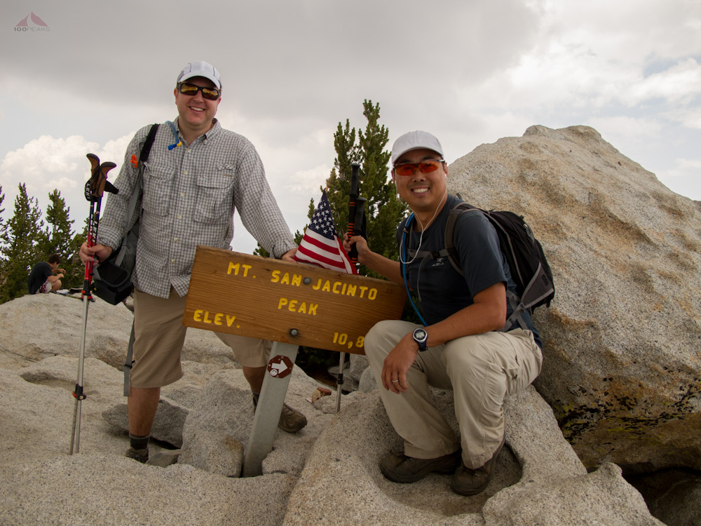
Overall, it was a great trip. We had made it to the top of Mount Pinos, the highest point in Ventura County. The high elevation was good training for the PD and my trip to San Jacinto Mountain in two weeks. I felt good and strong. McD was already asking about when the next trip would be. The PD and I had shared our knowledge of the outdoors with them and the outcome was a very successful trip.
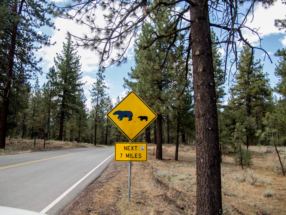
Bear Crossing - You Don't See This Every Day in California
A special thanks to Craig Carey for the great recommendations.

Mount Pinos to Sheep Camp Trail Map (Click to enlarge)