Grass Mountain - Peak #27 - A rainy day on the trail
Grass Mountain
Elevation: 3,685′
Mileage: 4.6
Trailhead: Grass Mountain Trailhead
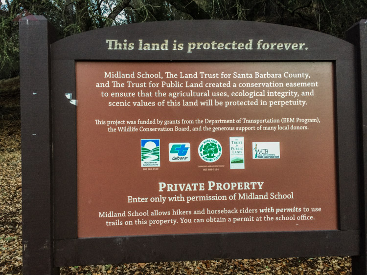
Agency: Los Padres National Forest
Date Hiked: 02/02/2014
Peakbagger.com Page
For those interested, here is a list of my gear that I have found works well for me. This is, of course, an affiliate link and your enjoyment of these may vary:
02/02/2014
It was Superbowl Sunday. I don't have cable. I had a free day. I checked the weather report and it was pretty much guaranteed to rain. No problem. My last hike was on Oahu around Thanksgiving. I needed this. I had the rain gear. I decided to head out to Grass Mountain.
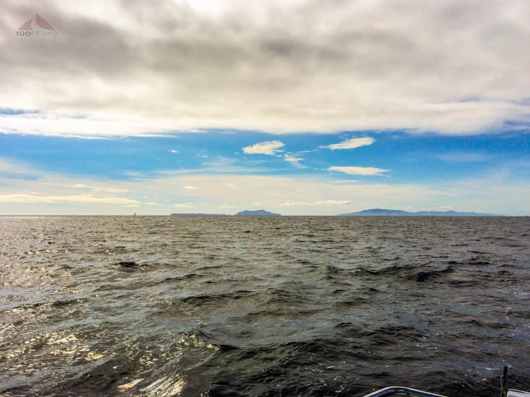
I drove out past Los Olivos, the rain was pretty steady once I got over San Marcos pass. I knew I was going to be in for a wet day. I was happy for the forest and happy for California. We were still going to be way behind in our annual precipitation, but any little bit of rain will help our situation.

At the trailhead with Grass Mountain behind me
Grass Mountain trailhead sign

Midland School Trail map

Grass Mountain trail sign
I was a little confused at first, since there are so many trails that lead up Birabent Canyon, but they all appear to lead to the same place. Within a half mile, I completely soaked my feet while crossing Alamo Pintado Creek.
It had been raining a while, the creek was rushing strongly, and the rocks were slippery. Within a few minutes, my feet were warm again; the benefits of wool hiking socks.

The hiker stile
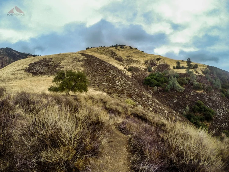
Once emerging from a clearing, Grass Mountain became visible again. I started to realize how steep its flanks were. I could tell my lungs were tired. I was on the tail end of the flu, but I should be able to do this.
Most of the top portion of the mountain was covered in grass, and it became clear why it's called "Grass Mountain."

Staying dry, with Grass Mountain behind me

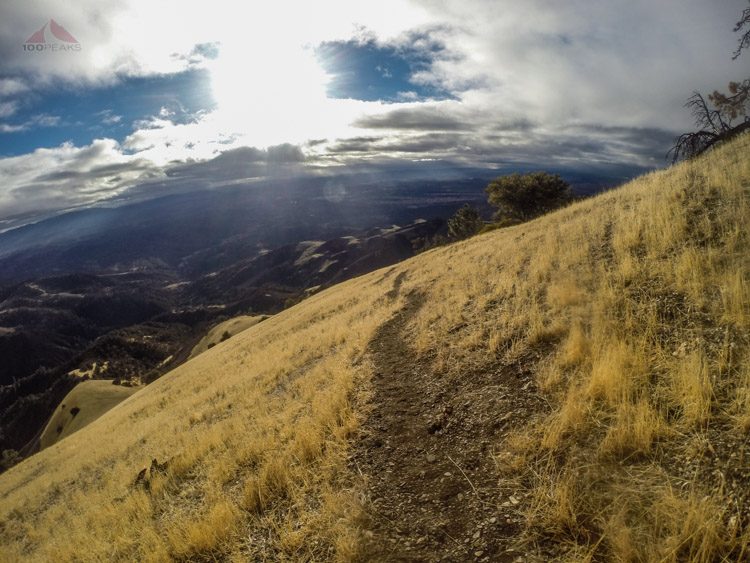
The trail to Grass Mountain
Just before a large grove of oaks, a small trail led upward to my left. Double-checking my map, I started upward.
Before long, I was sliding back down a steep part of the trail, my feet each carrying a pound or two of mud. I used my poles very carefully, and gingerly made it up the steepness.
The area is beautiful. I definitely would like to come back here on a clear day. As I got higher on the mountain, the views got better. About a third of the way up the mountain, the rain stopped and the wind picked up.
Due to the steepness, I was gasping. I guess I was more out of shape than I thought. I started counting 100 steps and then resting.
I looked upward to the trail above me and saw a large bobcat on it, staring motionless at me. We locked eyes for a good 30 seconds before I started reaching for my camera. A little movement, and it was gone. That answered the question as to the type of scat I had been seeing on the trail, some of it with bones in it, likely squirrel.
Looking down into Santa Ynez Valley
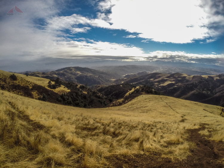
The ribbon of trail down Grass Mountain
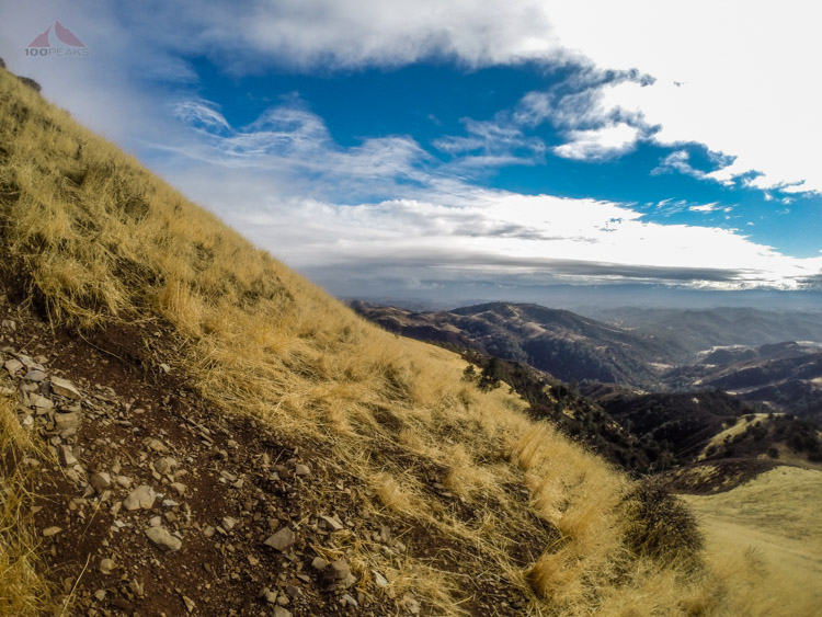
The steep trail up Grass Mountain
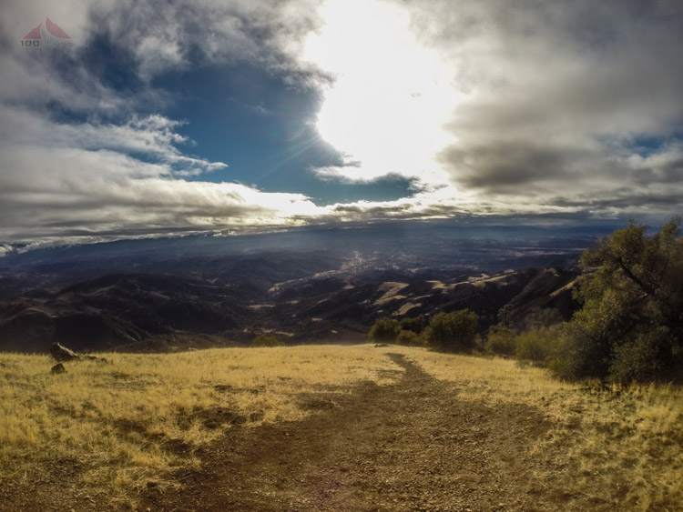
Feeling like I had climbed a 14er, I made it to the top. The views were amazing. Zaca Peak had some snow on it, as did some of the distant ridges I could see.
The sun started to emerge and I felt like I could see forever. The views from mountaintops after storms are the best and this was no different. After a few moments of hacking coughs and a snack.
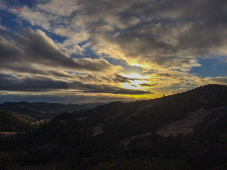
I headed back down, enjoying the views to the south, seeing the wet winding road shine gold in the setting sun. I turned back to see the top of Grass Mountain glowing yellow. It was a great hike.

The view from Grass Mountain

A dusting of snow on Zaca Peak as seen from Grass Mountain
Heading back down Grass Mountain
My car is down in the sunlit area in the lower left

One last look behind me at Grass Mountain
When I got back to the car, I was tired. I felt completely wiped. I wasn't sure why until later that night.
I was coming down with a cold. At least I got a hike in.